

Bass Coast natural assets review no threat to landholders
Bass Coast residents and community members have been invited to place pins on an online map to highlight environmentally significant land, but Bass Coast Shire Council says it will not automatically lead to new planning restrictions on private properties.


LOCAL landholders have been assured by Bass Coast Shire Council a pinpointing exercise to help identify environmentally significant land will not automatically lead to new planning restrictions on private properties.
Local residents and community members have been invited to place pins on an online map, highlighting locations they believe are important for nature and explaining why.
The Engage Bass Coast website has stated the community mapping project will give council and its specialist consultants a more comprehensive understanding of the region’s environmental values, including native vegetation, wildlife habitats, wetlands, significant trees and areas used by native animals.
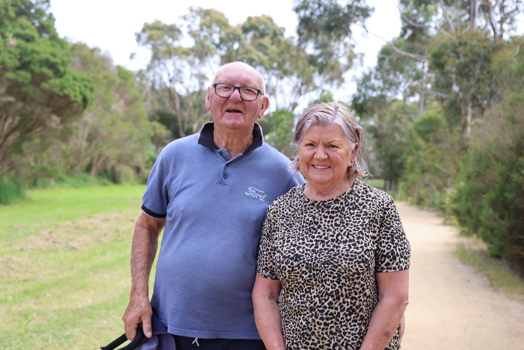
For Wonthaggi residents Peter (Dick) Williams and his wife Joan, the Wonthaggi Wetlands Conservation Park is a place well worth recognising and protecting.
The couple walk their dog through the wetlands every morning, enjoying the natural surroundings and the opportunity to spend time outdoors.
“Yeah, it's a beautiful spot,” Mr Williams said.
“Ah, sometimes I say, Joan, where is everyone? Sunday morning it's an empty track with no-one using it. It’s underutilised,” Mr Williams agreed.
Council's Engage Bass Coast website states local knowledge will play an important role in guiding further investigations and identifying places that may not be adequately represented in existing environmental records.
Importantly, council has stressed that placing a pin on the map does not mean a property has been assessed, or will automatically be assessed, for new planning restrictions.
“A pin simply indicates that someone believes a location may be environmentally significant. It does not change what landholders can currently do with their property,” council stated.
“No one will enter private property without permission,” said council which also reminded residents not to enter private land themselves when taking part in the mapping exercise.
The project follows the development of Bass Coast Council's Nature Positive Strategy and the Victorian Government's declaration of Bass Coast as a Distinctive Area and Landscape in 2019.
The Bass Coast Statement of Planning Policy, adopted by council in July 2024 and gazetted by the Victorian Government in October 2025, identified the need for further strategic work to better understand the municipality's environmental values.
A range of environmental consultants have since been appointed to undertake technical studies examining vegetation condition, threatened species, habitat connectivity, landforms and soils.
Every pin and accompanying comment will be reviewed by the project team and provided to consultants. They may contact people who submitted information, as well as relevant property owners, to seek further details.
Qualified ecologists may also undertake site visits, spending approximately 15 minutes recording vegetation types, habitat features, threats such as weeds and the overall condition of a site. Photographs may be taken with permission.
While the studies may eventually inform future environmental protection measures, council has reiterated the mapping exercise itself will not introduce new planning controls or change existing planning rules for individual properties.
Potential future options could include restoration funding, community education and possible changes to the Bass Coast Planning Scheme however any proposed planning scheme changes would involve a separate formal process, including public exhibition, submissions, council approval and, where required, an independent panel hearing.
Council has also committed to working in partnership with the Bunurong Land Council, ensuring Bunurong values and knowledge of Country are considered alongside scientific research.
The community mapping exercise runs from November 17 to December 15, 2026. Council expects the technical investigations will continue until the end of 2027, with recommendations scheduled for release in early 2028.
Residents can find the mapping project through the Engage Bass Coast website or contact council's Strategic Planning team at strategic.planningadmin@basscoast.vic.gov.au


