Increased risk of flash flooding this week
EMERGENCY services are urging the community to be prepared and stay alert ahead of heavy rainfall and flood risks across the state this week. The BOM is predicting the worst of the rainfall this week will happen across Northern Victoria on Thursday...

EMERGENCY services are urging the community to be prepared and stay alert ahead of heavy rainfall and flood risks across the state this week.
The BOM is predicting the worst of the rainfall this week will happen across Northern Victoria on Thursday, but will start sweeping across the state tomorrow, with flash flooding and damaging winds possible.
Up to 40-50mm of rain is expected to fall across Bass Coast and South Gippsland on Thursday, with strong winds expected.
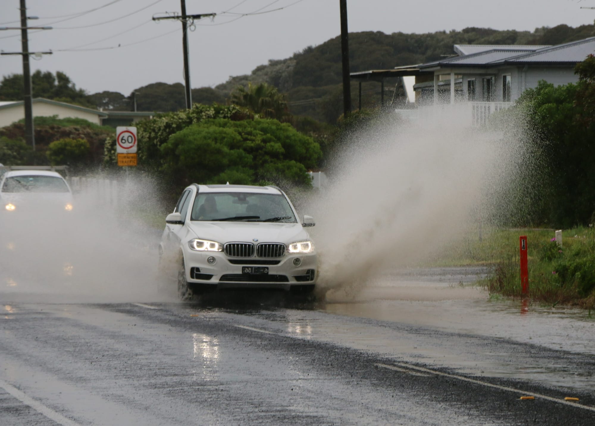
Last week also saw instances of flash flooding across Phillip Island and other areas of Bass Coast.
The State Government joined Emergency Management Victoria (EMV), VICSES and the Bureau of Meteorology (BOM) for a briefing on the forecast and preparation done already for upcoming floods and storms, including restocking of Community Contingency Caches.
The caches are designed to equip responders and community members with emergency tools including first aid and hygiene essentials, infant supplies, dust masks and respirators, batteries, water, food and cooking supplies, tents, lighting, bedding and equipment needed to set up an emergency base.
Each of the two caches is able to provide relief for up to 50 people in the immediate aftermath of impact from a major emergency for up to five days.
They can be pre-deployed based on predictive services – modelling ahead of significant weather events that points to things like floods or fires, or following emergency events where extended periods of community isolation can occur.
More than 200 generators are also on standby, ready to be deployed by the Department of Environment, Land, Water and Planning (DELWP) to households facing prolonged power outages after a severe weather event.
The community is encouraged to make their own preparations for potential emergencies by having enough supplies on hand to last for up to 72 hours and to set up a support network with friends, family, neighbours and their local council.
VICSES and emergency services have been preparing for these weather events and are ready to respond, but Victorians can help keep themselves safe by never driving through floodwater and avoiding debris, fallen trees and powerlines.
Victorians are urged to keep up to date with the latest advice on the VicEmergency app and to check VicTraffic before travelling for updates on road closures, hazards and to consider alternate routes. Local flood guides can also be found on the VICSES website.
Call VICSES if you need assistance on 132 500, or Triple Zero if you are in immediate danger.
FLOOD WATCH ISSUED:
A flood watch has now been issued for South Gippsland rivers.
Widespread minor to moderate flooding expected across the flood watch area, major flooding likely in some catchments from Thursday.
Showers and rain are expected from Wednesday as a cold front moves into the west of the state. The rain will continue during Thursday and Friday, with heavy falls likely as the front moves slowly eastwards.
Catchments in the Flood Watch area are very wet as a result of the recent rainfall and river levels are elevated within some catchments.
From Wednesday to Friday, rainfall totals of 60-100 mm are forecast north of the divide, while rainfall totals of 30-60 mm are forecast south of the divide
Minor to moderate flooding is expected across the flood watch areas. Major flooding is likely in some catchments.
Catchments likely to be affected include:
South Gippsland Rivers
Mitchell River
Macalister River
Thomson River
Latrobe River


